
फाइल:Meghalaya locator map.svg

पूर्वावलोकन PNG का आकार SVG फ़ाइल: ७३४ × ६०० पिक्सेल अउर resolutions: २९४ × २४० पिक्सेल | ५८७ × ४८० पिक्सेल | ९४० × ७६८ पिक्सेल | १,२५३ × १,०२४ पिक्सेल | २,५०६ × २,०४८ पिक्सेल | २,३९३ × १,९५६ पिक्सेल।
मूल फ़ाइल (SVG फ़ाईल, साधारणत: २,३९३ × १,९५६ पीक्सेल्स, फ़ाईल कय आकार: २६० केबी)
| शीर्षक |
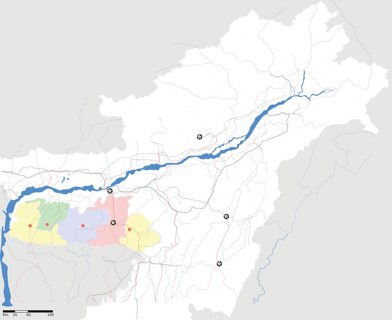
Meghalaya locator Map |
| Description |
Map of w:Meghalaya with road and rail lines. Equirectangular projection. Geographic limits of the map: top=29.49, bottom=23.74, left=89.61, right=97.52. |
| दिनांक | |
| स्रोत |
आपन काम |
| रचियता | |
| अनुमति (इस फ़ाइल की पुनः उपयोग) |
मैं, इस कार्य का/की कॉपीराइट धारक, इसे निम्न लाइसेंस के अंतर्गत प्रकाशित करता/करती हूँ: यह फ़ाइल लाइसेंस्ड हैं इस अंतर्गत क्रिएटिव कॉमन्स एट्रीब्यूशन-शेयर एलाइक ३.० अनपोर्टेड़ लाईसेंस ।
|
| Geotemporal data | |
| Date depicted | second half of 20 century अउर 21 century |
| Georeferencing | If inappropriate please set warp_status = skip to hide. |
| Archival data | |
| नोट्स | Part of WikiProject India Maps |
फाइल कय इतिहास
मिति/समय मे क्लिक कइकै फाइल उ समय कैसन बिलगात रहा देखा जाय
| तारीख/समय | अंगूठाकार प्रारूप | आकार | सदस्य | टिप्पणी | |
|---|---|---|---|---|---|
| अबहिनै कय | ००:२६, १७ अप्रैल २००७ | | २,३९३ × १,९५६ (२६० केबी) | Planemad | {{WikiProject_India_Maps |Title=Meghalaya locator Map |Description=Map of w:Meghalaya with road and rail lines |Source= [http://www.iitg.ernet.in/rcilts/assam_political.jpg IIT Guwahati - Assam Political map] |Date=April 2007 |Author=[[w:user:Planemad |
फ़ाइल कय उपयोग
इ फाइल से कवनो पन्ना नाइ जोडान है ।
वैश्विक फाइल प्रयोग
अउर विकि जवन इ फाइल कय प्रयोग करत हँय:
- ar.wikipedia.org पर उपयोग
- ast.wikipedia.org पर उपयोग
- as.wikipedia.org पर उपयोग
- ba.wikipedia.org पर उपयोग
- bn.wikipedia.org पर उपयोग
- bs.wikipedia.org पर उपयोग
- ceb.wikipedia.org पर उपयोग
- de.wikipedia.org पर उपयोग
- es.wikipedia.org पर उपयोग
- fa.wikipedia.org पर उपयोग
- gu.wikipedia.org पर उपयोग
- hif.wikipedia.org पर उपयोग
- hi.wikipedia.org पर उपयोग
- hr.wikipedia.org पर उपयोग
- id.wikipedia.org पर उपयोग
- ja.wikipedia.org पर उपयोग
- kbd.wikipedia.org पर उपयोग
- ml.wikipedia.org पर उपयोग
- ms.wikipedia.org पर उपयोग
- new.wikipedia.org पर उपयोग
- nl.wikipedia.org पर उपयोग
- or.wikipedia.org पर उपयोग
- pam.wikipedia.org पर उपयोग
इ फ़ाइल कय वैश्विक उपयोग कय अधिक जानकारी देखा जाय।